Will El Niño affect my trip to Australia?
BarelyWarmer nights, a wetter west, a drier south-east. Plan around heat, not rain.
Less than the headlines suggest, and in two places it works in your favour. The Bureau has a near-record El Niño running — the Niño3.4 index hit +2.72 °C in late September, the second-highest in its weekly record — and it's forecast to strengthen into summer. For a traveller that mostly means warm nights and hot afternoons, which the trips already plan around. The forecast is wetter than average across the west and centre, drier across Tasmania and south-east Victoria, and roughly even odds on the east coast. Fewer cyclones in the north is the quiet bonus.
Checked on 6 October 2026.
El Niño makes headlines because it's a big number in the Pacific. What matters to you is narrower: will it change the days you're actually here for? Here's what the Bureau is forecasting, by the parts of the country people travel to.
What's happening
- A strong El Niño, near record strength.The Niño3.4 index reached +2.72 °C for the week ending 27 September 2026 — the second-highest in the Bureau's weekly record, behind +2.76 °C in November 2015.
- It's still building.Models have it peaking in late spring or summer, possibly above +3.0 °C, and holding into autumn 2027.
- A positive Indian Ocean Dipole is likelyto develop alongside it. That's the other driver that pushes Australia dry.
- The Bureau's own caution matters here:a strong signal in the Pacific does not automatically mean strong effects on Australian rainfall and temperature. ENSO is one driver among several.
What the forecast actually says, October to December
| Where | Rain | Temperature | What it means for you |
|---|---|---|---|
| Western Australia | Above average, 50–80% chance of unusually high across the south and centre | Above average | Good news. Rain here means wildflowers and full gorges |
| The Red Centre | Above average across southern NT | Hot | Start early, finish late. A desert after rain is something few visitors see |
| Tasmania | Below average | Above average | Good news. More fine days for walking than a normal spring |
| Victoria, south-east | Below average | Above average | Dry and warm. Good touring weather, higher fire risk inland |
| East coast, NSW to QLD | Roughly even odds | Above average | No strong signal either way. Plan as normal |
| The Top End and Cape York | Below average | Warm | A later, lighter build-up. Fewer washed-out days |
Bureau of Meteorology long-range forecast, issued 1 October 2026.
The thing that's near certain: warm nights
This is the strongest signal in the whole forecast. Overnight minimums are very likely to be above average across almost all of Australia, and the chance of unusually warm nights is over 80% for much of the country — more than four times the normal likelihood. If you're camping, that's genuinely in your favour: a swag under the stars in the Red Centre is a lot more pleasant at 15 °C than at 4 °C.
Fewer cyclones in the north
El Niño years typically bring fewer tropical cyclones to the Australian region, and the Bureau notes sea surface temperatures north and north-east of Australia have cooled to more than 1 °C below average — that's the fuel. The season runs 1 November to 30 April, and an average one brings about ten cyclones with three or four crossing the coast. Fewer of those is a straightforwardly better summer for the reef, the Whitsundays and the Top End.
What to actually do about it
- Plan around heat, not rain.Out early, back by late morning, out again at five. Every trip we run in the Red Centre and the Top End is already built that way.
- Take the warm nights as a giftif you're camping. This is the summer for a swag.
- Go west or central if you're flexible.Those are the places the forecast favours, and they're the ones most people skip.
- Tasmania's drier spring is a walking seasonnot a loss. Cradle Mountain and Wineglass Bay both reward fine days.
- Nothing here stops a trip.The trips run year round and the guides read the actual forecast on the day, not the seasonal one.
By where you're going
The effect is different enough by region to be worth its own page: Uluru and the Red Centre, Tasmania, the east coast and Western Australia.
Trips that suit a hot, dry summer
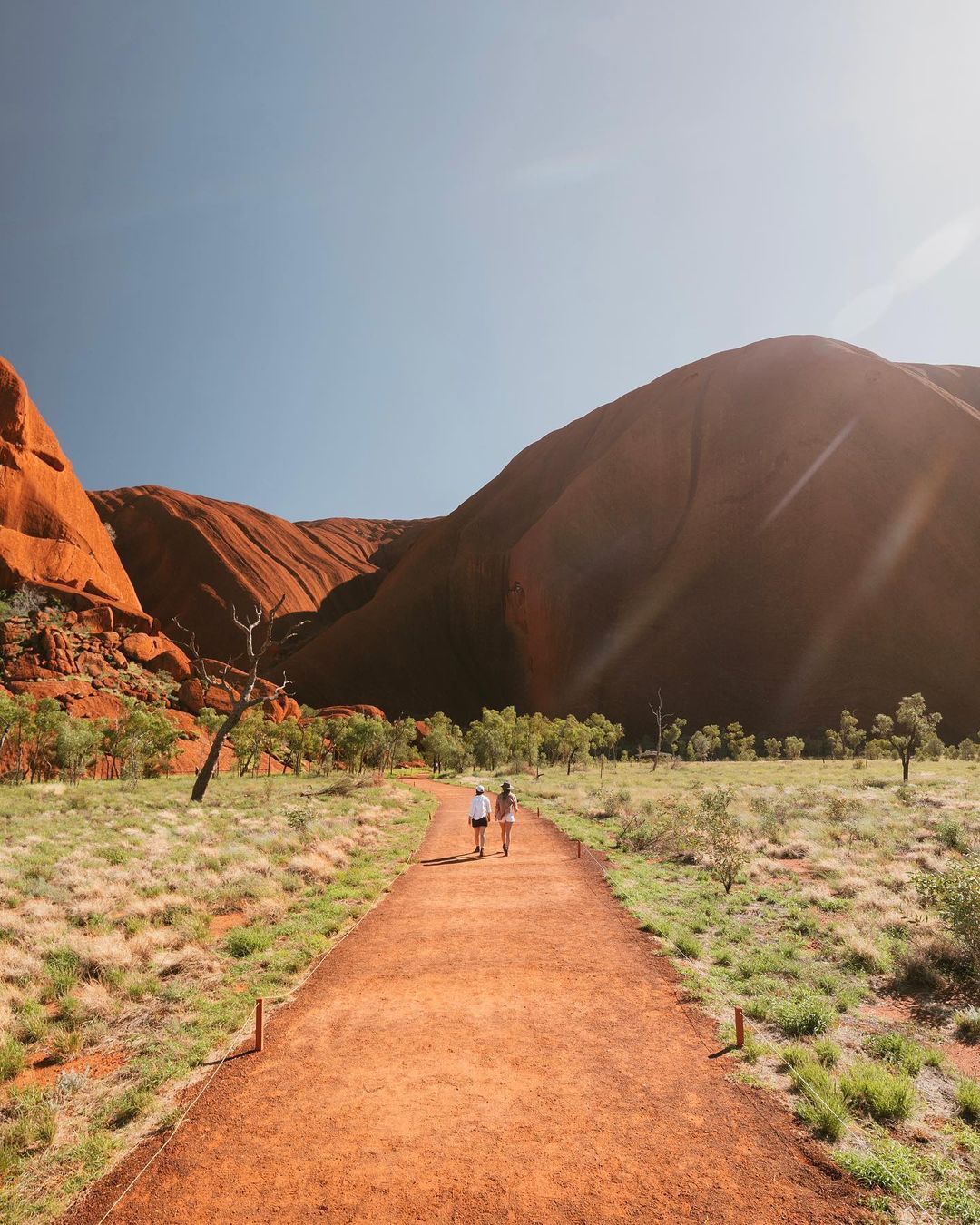 3 Day Uluru Budgetfrom $7293 days, 2 nightsSwags3 days — Uluru and Kings Canyon, dawn startsView trip
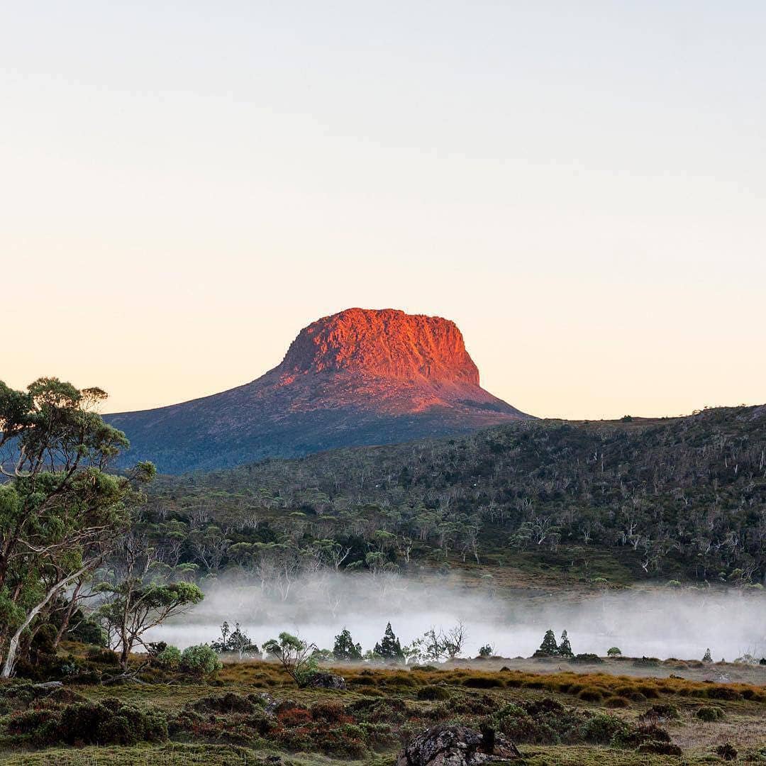 5 Day Tasmania Tourfrom $9395 days, 4 nightsMotel / Cabin5 days — Tasmania, at its driestView trip
 7 Day Perth to Exmouth & Returnfrom $16997 days, 6 nightsHostel / Dorm Share7 days — up the west coast, where the rain is forecastView trip
 7 Day Brisbane to Cairns Highlightsfrom $14497 days, 6 nightsHostel7 days — Brisbane to CairnsView trip
Where this comes from. ENSO and IOD index values are the Bureau of Meteorology's Southern Hemisphere Monitoring update of 29 September 2026. The rainfall and temperature outlook is the Bureau's long-range forecast issued 1 October 2026 for October to December. Cyclone season dates and averages are the Bureau's published figures. Trip details and prices are each trip's own and update on their own.